Road Connectivity to Hiranandani Fortune City Panvel
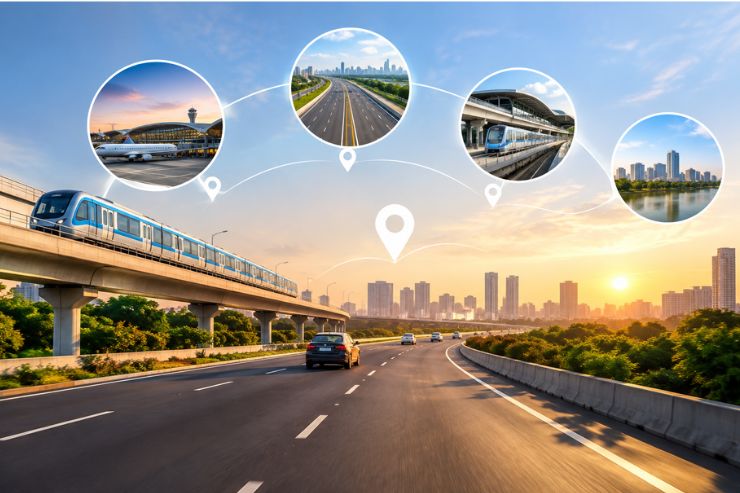
Good road connectivity is one of the biggest advantages of Hiranandani Fortune City Panvel. The township sits at the intersection of some of the most important highways in the Mumbai Metropolitan Region.
Whether you commute to Mumbai for work, travel to Pune on weekends, or need quick access to the airport, the road network around the township makes it easy. This page breaks down all the major road connections, distances, and travel times.
Major Highways and Expressways
The township is served by three major road corridors. Each one serves a different purpose and direction of travel.
| Road | Connects To | Distance from Township |
|---|---|---|
| Mumbai-Pune Expressway | Mumbai, Pune, Thane | 10 min from Shedung exit |
| Old Mumbai-Pune Highway (NH-48) | Panvel, Kalamboli, Mumbai | 0.2 km from entry |
| Sion-Panvel Highway | Navi Mumbai, Mumbai | Direct access |
Route via Mumbai-Pune Expressway
The Mumbai-Pune Expressway is the fastest way to reach the township from most parts of Mumbai and Pune.
- Exit Point: Shedung Toll Plaza
- From Exit to Township: About 10 minutes
- Best For: Travellers from Western Suburbs, Thane, and Pune
Once you exit at Shedung, follow the signs for Bhokarpada. The road is well-marked and leads directly to the township entrance.
Route via Atal Setu (Mumbai Trans Harbour Link)
The Atal Setu has transformed connectivity between South Mumbai and the Panvel region. What used to be a 90-minute drive is now just 30 to 40 minutes.
- Entry Point: Sewri, South Mumbai
- Exit: Towards Navi Mumbai, then Sion-Panvel Highway
- Distance from Atal Setu Entry to Township: About 5 km
- Best For: South Mumbai residents and daily commuters
This route is especially useful for people who work in South Mumbai but want to live in a township environment.
Route via Old Mumbai-Pune Highway (NH-48)
The Old Mumbai-Pune Highway, also known as NH-48, passes right next to the township. This is the most direct road access for local travel.
- Distance from NH-48 Entry: 0.2 km
- Connects To: Panvel, Kalamboli, Vashi, and Mumbai
- Best For: Local errands, daily commuting to Panvel and Navi Mumbai
Residents can access the highway within minutes from the township gate, making it very convenient for daily travel.
Distance Chart from Key Locations
Here is a quick reference for road distances and travel times from major locations:
| Starting Point | Distance | Drive Time | Best Route |
|---|---|---|---|
| Panvel City Centre | 8 km | 15-20 min | Sion-Panvel Highway |
| Kalamboli | 6 km | 12-15 min | NH-48 |
| Kharghar | 10 km | 20-25 min | Sion-Panvel Highway |
| CBD Belapur | 12 km | 25-30 min | Sion-Panvel Highway |
| Thane | ~55 km | 75-85 min | Ghodbunder Road to Expressway |
| South Mumbai | ~50 km | 30-40 min | Atal Setu |
| Western Suburbs | ~60 km | 80-90 min | Mumbai-Pune Expressway |
| Pune | ~100 km | ~2 hours | Mumbai-Pune Expressway |
Upcoming Road Projects
Several road infrastructure projects are planned or under construction that will further improve connectivity to the township.
- Missing Link Project: This project will connect Mumbai and Pune while bypassing the Lonavala Ghat section. It is expected to reduce travel time by about 30 minutes. Completion is expected by 2026.
- Virar-Alibaug Multimodal Corridor: This proposed corridor will create a direct road link between Virar and Alibaug, passing through the Panvel region. It will improve regional connectivity and reduce traffic on existing routes.
- Panvel-Karjat Rail Corridor: While primarily a rail project, it includes road infrastructure improvements in the surrounding areas. This will benefit the township's overall connectivity.
- NAINA Road Network: The Navi Mumbai Airport Influence Notified Area (NAINA) has planned road upgrades and new link roads. These will improve local connectivity within the Panvel region.
Tips for Drivers
- Avoid peak hours: If commuting to Mumbai or Navi Mumbai for work, avoid morning (8 AM to 10 AM) and evening (6 PM to 8 PM) rush hours.
- Use FASTag: The Shedung toll plaza on the Mumbai-Pune Expressway accepts FASTag. Make sure your tag is active to avoid delays.
- Check traffic updates: Use Google Maps or similar apps to check live traffic before starting your journey.
- Keep alternate routes in mind: If the expressway is congested, the Old Mumbai-Pune Highway (NH-48) can be a good alternative.
- Fuel up before: There are fuel stations on the highway, but it is best to fuel up before entering the expressway for a smoother drive.
Get in Touch
For detailed road directions, site visit scheduling, or any other connectivity-related queries, download the brochure or contact the sales team directly. They can provide personalized guidance based on your starting location.